Log in
All resources
Create a design
40,209 Free Images of Engraved Maps
maps made in the 17th century
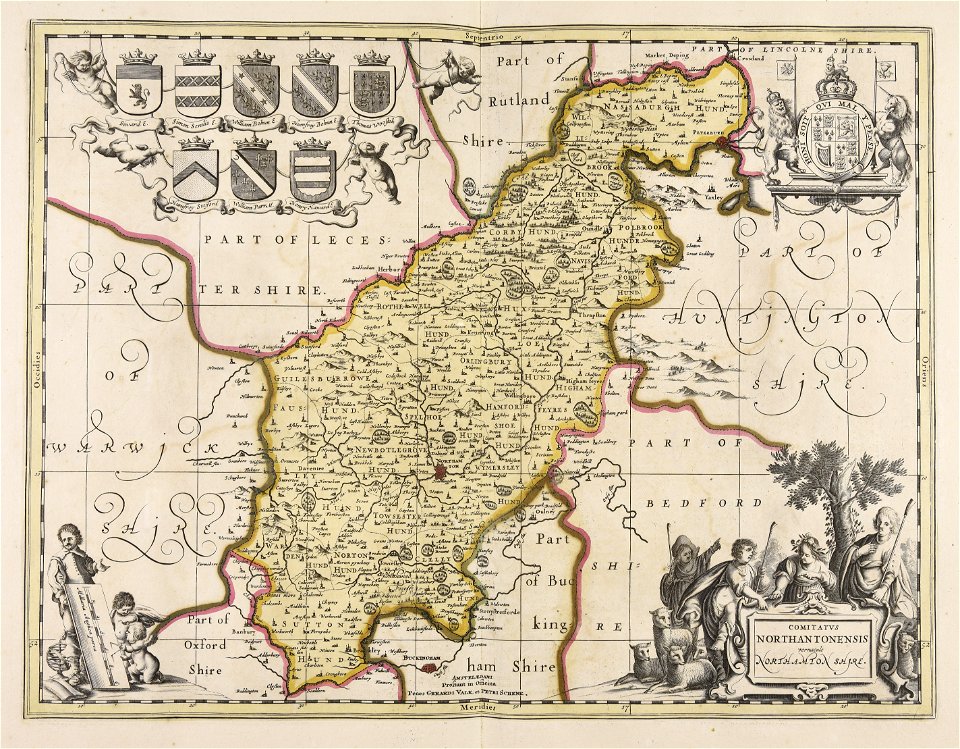
gerard valck
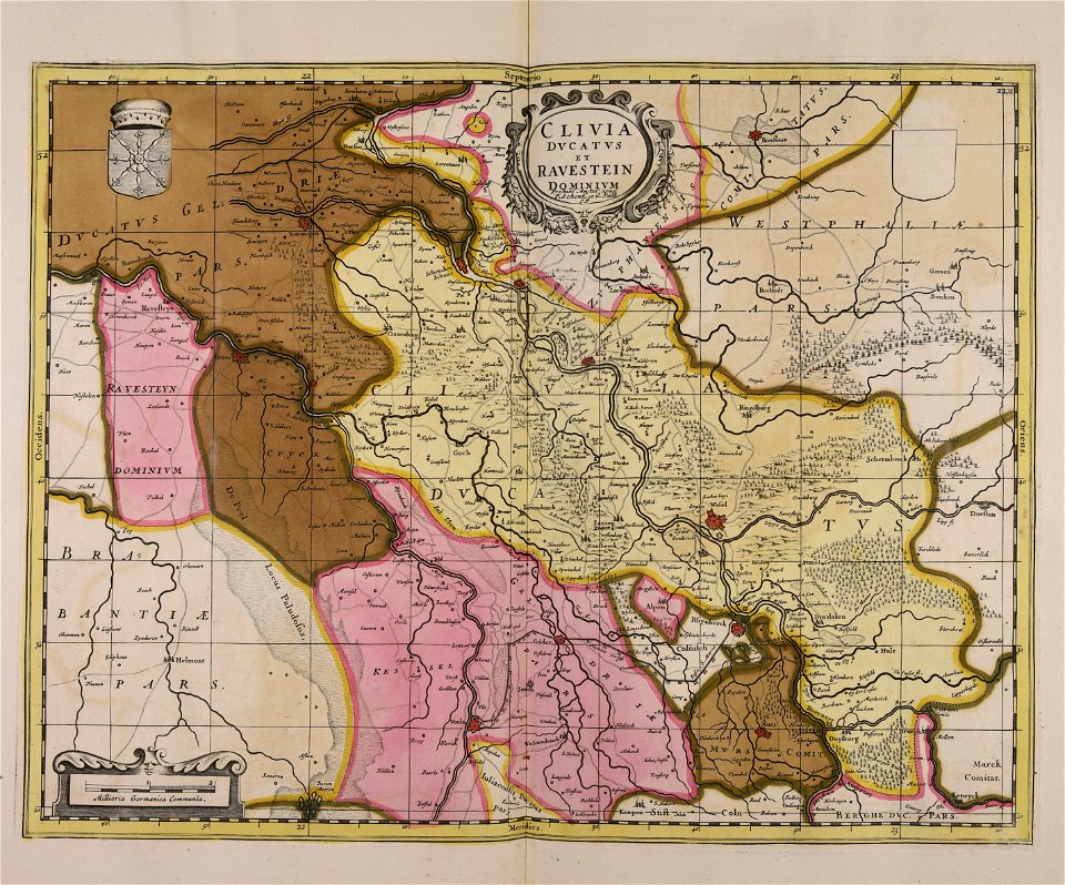
maps by pieter schenk (i)
atlantis magni tomus secundus (biblioteca comunale di trento)
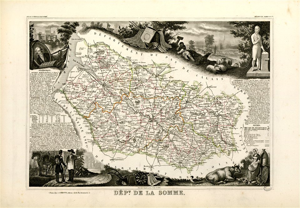
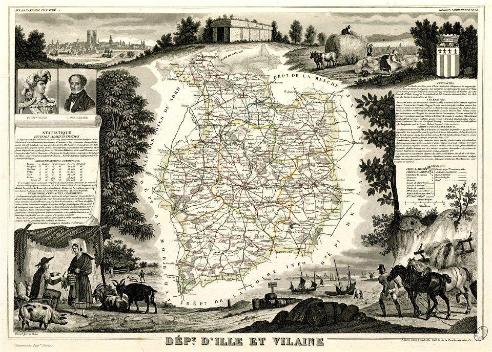
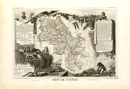
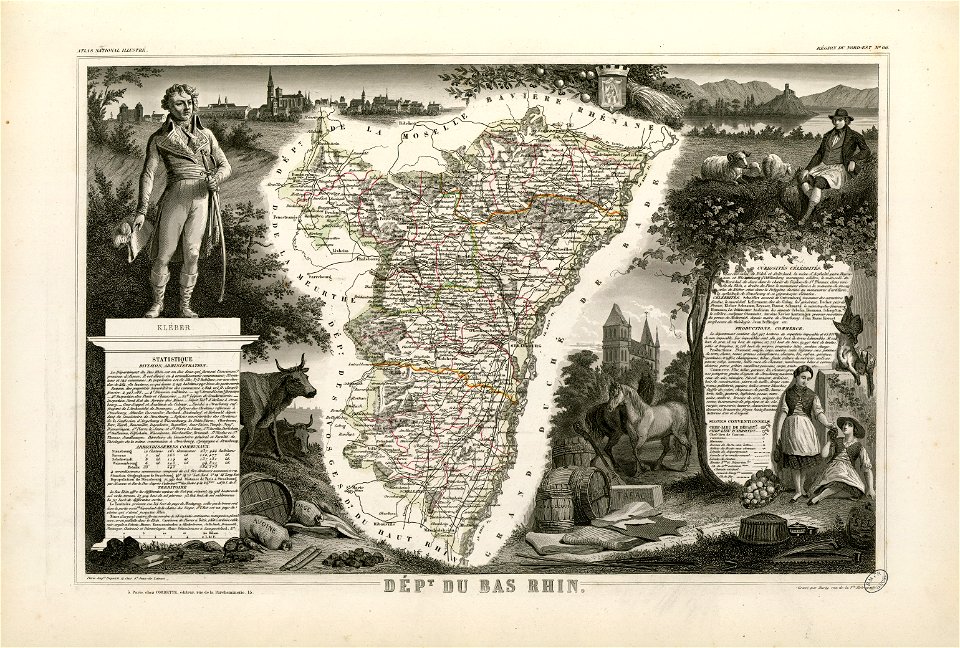
maps by alexandre vuillemin
atlantis magni tomus tertius (biblioteca comunale di trento)
fonds ancely - bibliothèque municipale de toulouse - maps
victor levasseur - maps of france
maps in the library of congress
volume 5 of le tour du monde
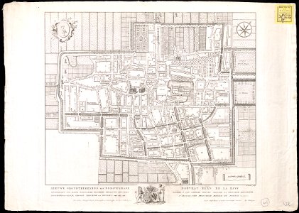
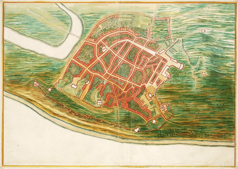
the hague in the 1840s
old maps of the hague
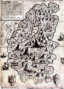
provided by landsbókasafn íslands
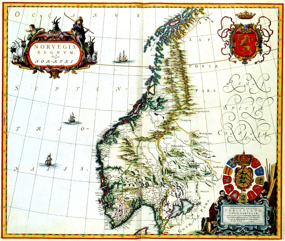
maps made in the 16th century
provided by landsbókasafn íslands
maps made in the 16th century
harvard university
pictorial maps
media in the houghton library
harvard university
20th-century maps of india
india
description des principales villes (1690)
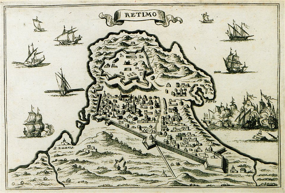
old maps of crete
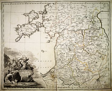
atlas of the russian empire (1800)
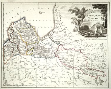
18th-century maps of estonia
atlas of the russian empire (1800)
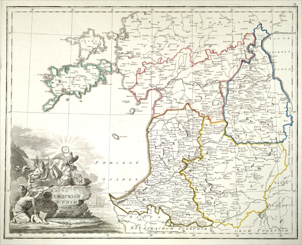
old maps of courland governorate
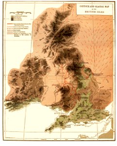
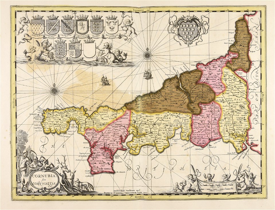
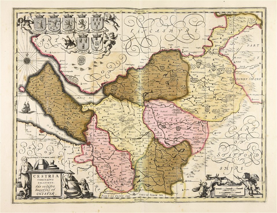
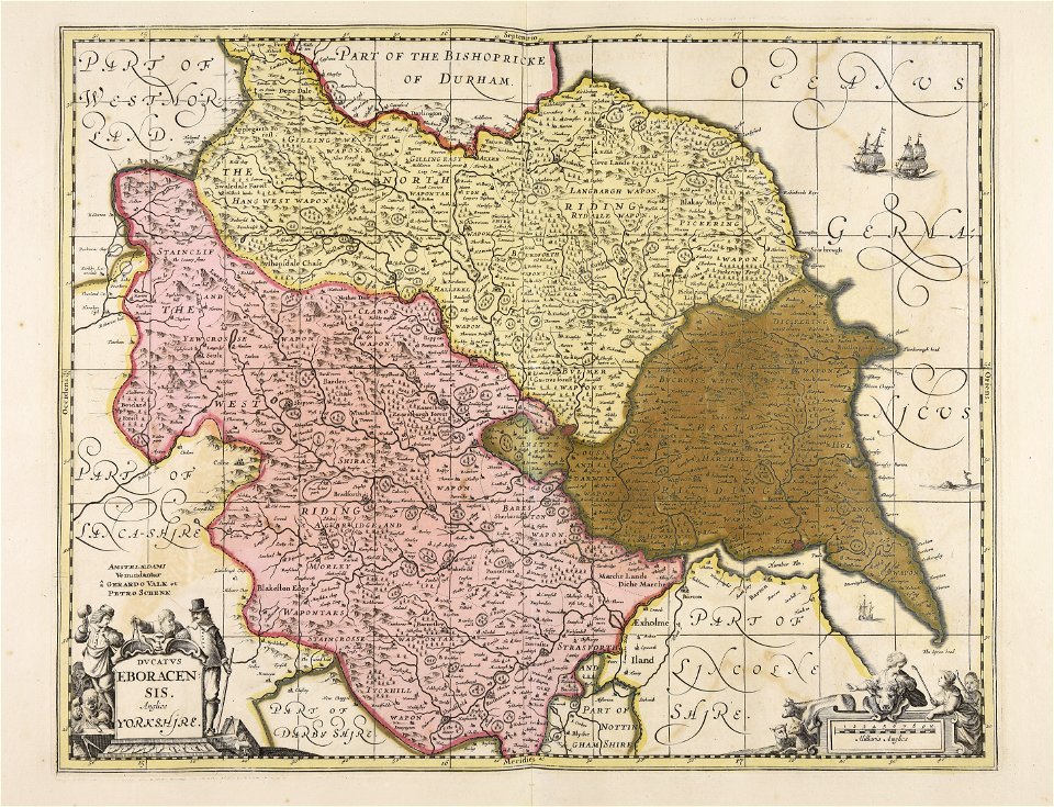
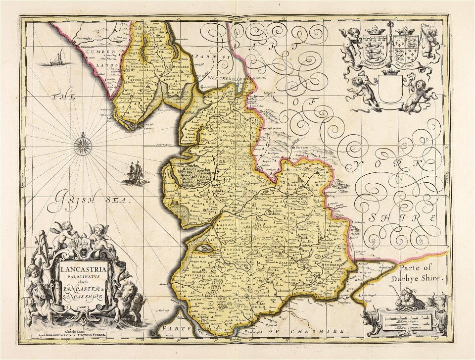
old maps of the british isles
1890s maps
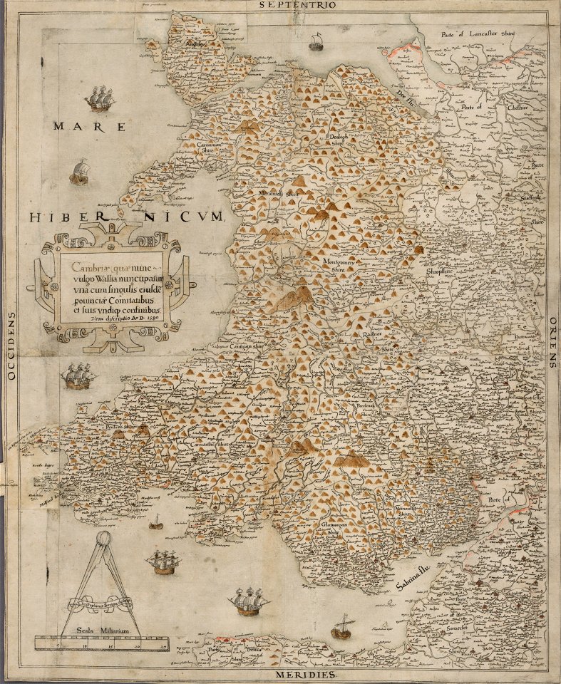
maps in the national library of wales
old maps of whole wales (alone)
images from bristol past and present (1882)
old maps of bristol
old maps of dutch brazil
johannes vingboons
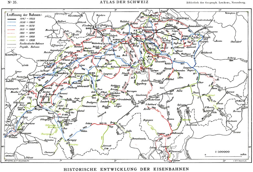
history of rail transport in switzerland
rail transport maps of switzerland
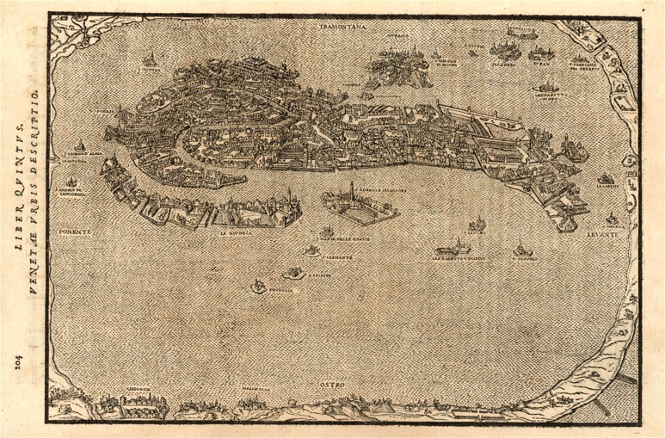
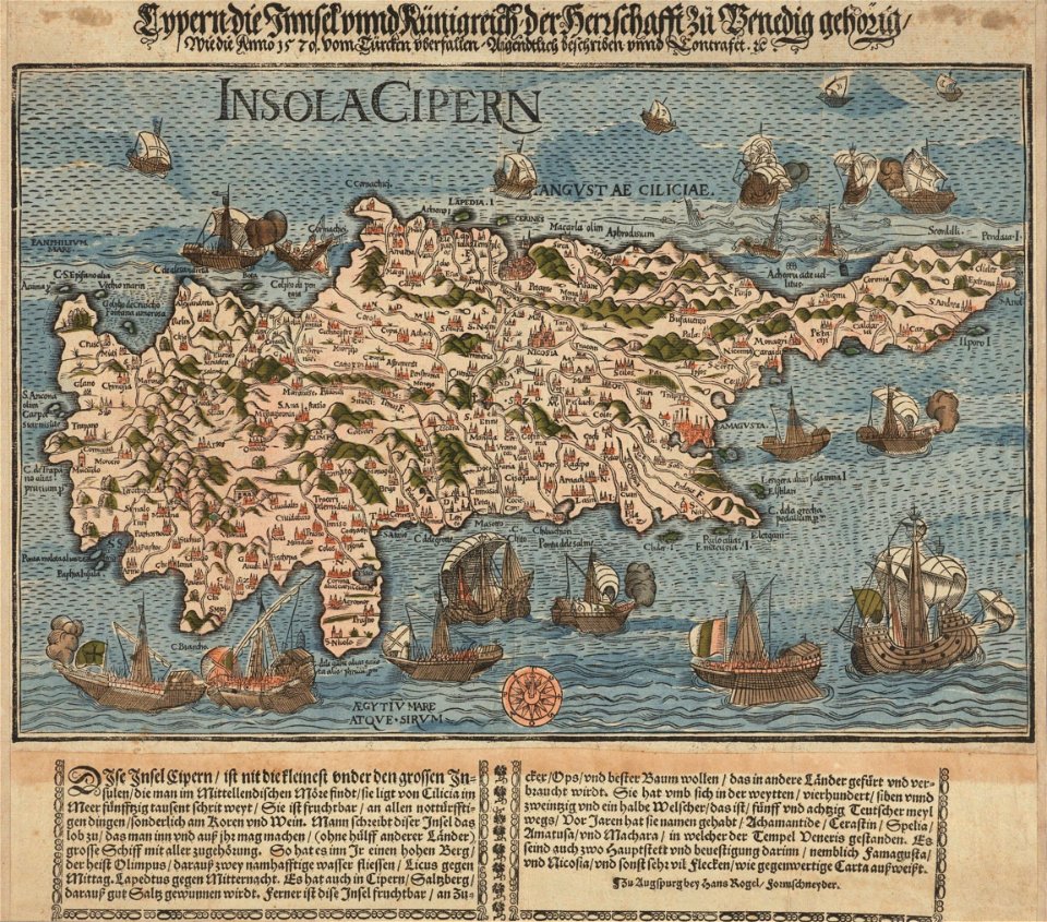
16th-century maps of the black sea
maps made in the 16th century
massachusetts
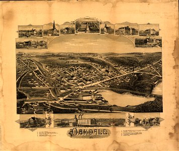
oakdale
massachusetts
oakdale
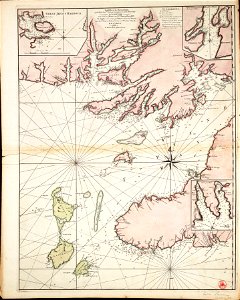
charts and maps of the royal museums greenwich
1766 maps
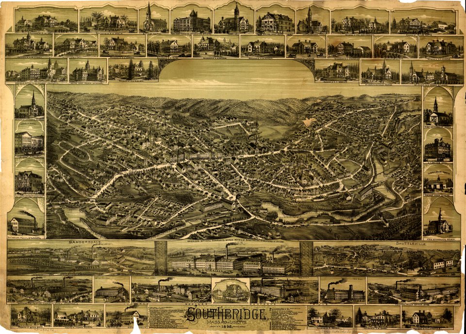
massachusetts
southbridge
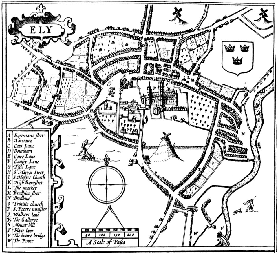
cambridgeshire
ely
images from the new york public library
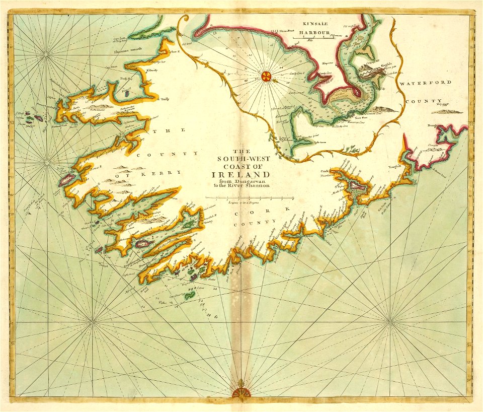
old maps of ireland
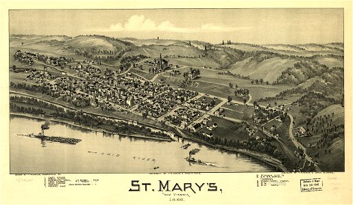
west virginia
st mary
west virginia
st mary
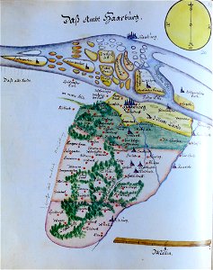
ämteratlas des fürstentums lüneburg von johannes mellinger
maps of elbe in hamburg
atlas of the russian empire (1792)
18th-century maps of estonia
maps in russian state archives of ancient documents
historical images of čerykaŭ
volume 5 of le tour du monde
old maps of sudan
volume 5 of le tour du monde
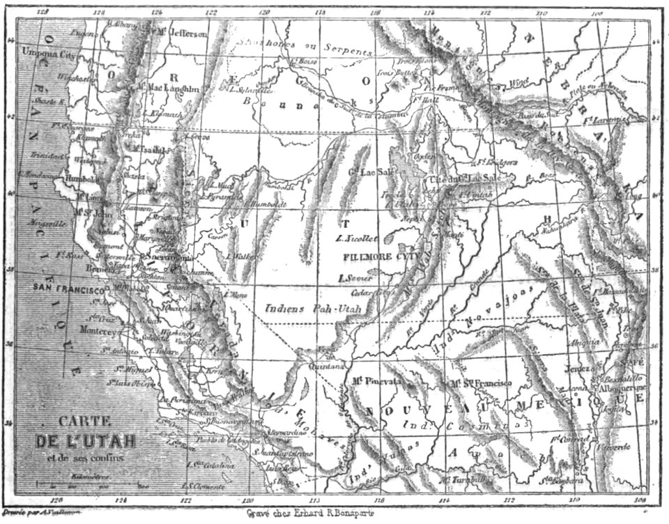
maps by alexandre vuillemin
volume 2 of le tour du monde
maps by alexandre vuillemin
volume 3 of le tour du monde
old maps of senegal
volume 5 of le tour du monde
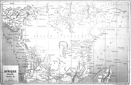
old maps of africa
maps by alexandre vuillemin
old maps of australia
volume 3 of le tour du monde
old maps of senegal
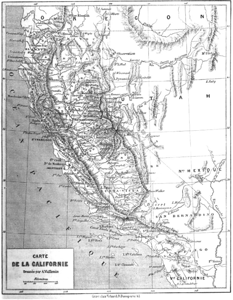
maps by alexandre vuillemin
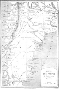
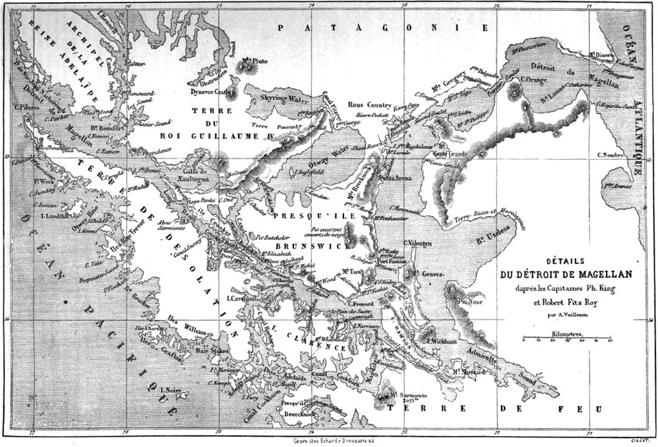
old maps of patagonia
maps by alexandre vuillemin
old maps of africa
volume 6 of le tour du monde
maps by alexandre vuillemin
volume 6 of le tour du monde
old maps of peru
volume 5 of le tour du monde
maps by alexandre vuillemin
volume 3 of le tour du monde
old maps of patagonia
maps by alexandre vuillemin
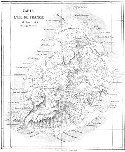
old maps of mauritius
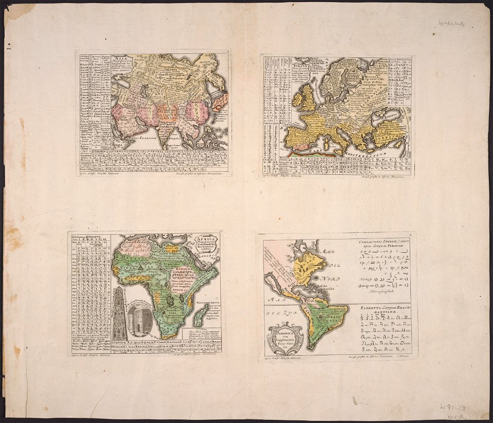
maps made in the 18th century
johann baptist homann
maps made in the 17th century
gerard valck
maps made in the 17th century
gerard valck
maps made in the 17th century
gerard valck
maps made in the 17th century
gerard valck
maps made in the 17th century
gerard valck
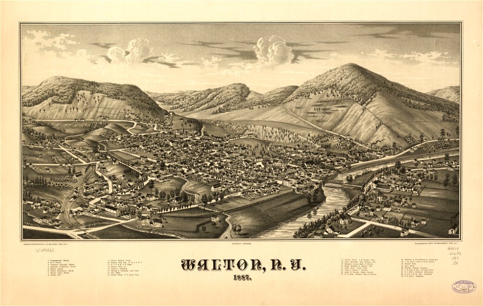
new york
walton
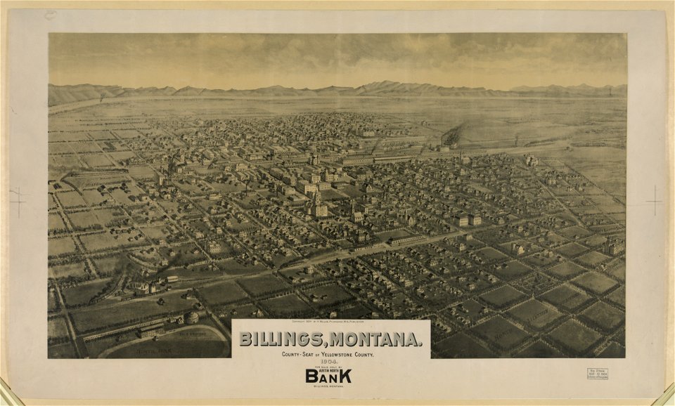
lithographs of montana
montana
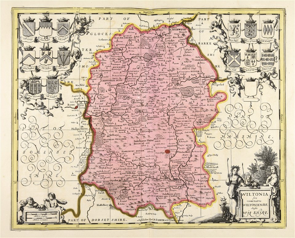
gerard valck
germany
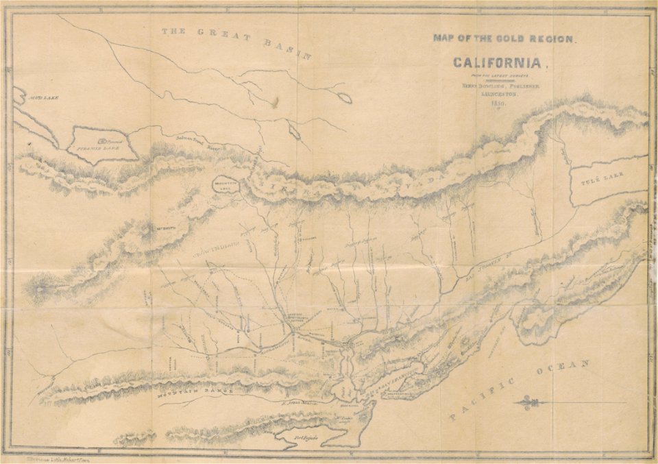
california gold rush
john sutter
maps made in the 17th century
gerard valck
maps in musée de la compagnie des indes
17th-century engravings
maps with cartouches
joan blaeu
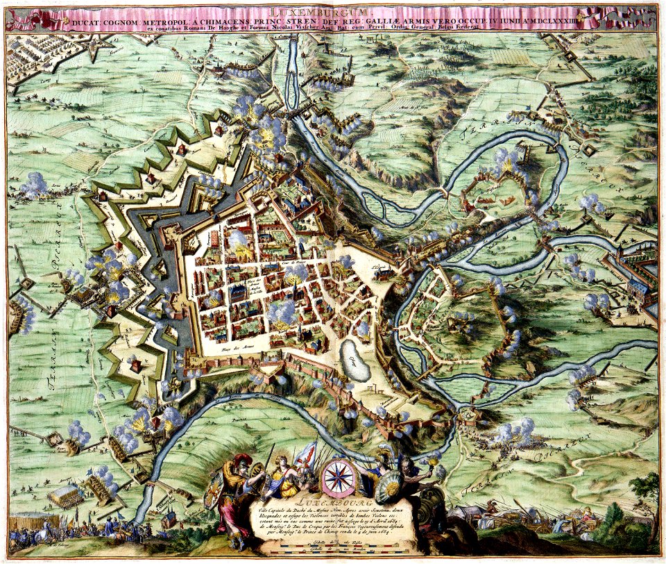
maps of luxembourg city walls
maps with cartouches
maps with cartouches
atlas van der hagen
maps made in the 17th century
gerard valck
maps of the dutch east india company - madagascar
1665
maps of the dutch east india company - indonesia
1705
maps made in the 17th century
gerard valck
old maps of the hague
siege of leiden
maps made in the 17th century
gerard valck
maps made in the 17th century
gerard valck
maps made in the 17th century
gerard valck
fonds ancely - bibliothèque municipale de toulouse - maps
maximilien sébastien foy
fonds ancely - bibliothèque municipale de toulouse - maps
coats of arms of rennes
fonds ancely - bibliothèque municipale de toulouse - maps
coats of arms of le mans
fonds ancely - bibliothèque municipale de toulouse - maps
pierre-jean david
fonds ancely - bibliothèque municipale de toulouse - maps
frédéric-auguste laguillermie
coats of arms of bordeaux
carle vernet
fonds ancely - bibliothèque municipale de toulouse - maps
frédéric-auguste laguillermie
coats of arms of strasbourg (i)
jean-baptiste kléber
maps made in the 17th century
gerard valck
maps made in the 17th century
lochaber
maps made in the 17th century
gerard valck
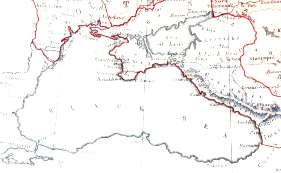
pictorial history of the russian war 1854-5-6 by george dodd
maps of circassia
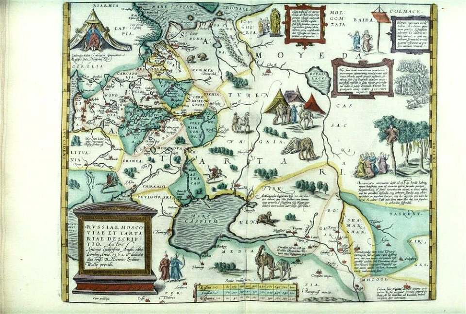
files from the bodleian libraries
maps of tartary
maps made in the 17th century
gerard valck
maps made in the 17th century
gerard valck
maps made in the 17th century
gerard valck
maps made in the 17th century
gerard valck
maps made in the 17th century
gerard valck
maps made in the 17th century
gerard valck
maps made in the 17th century
gerard valck
maps made in the 17th century
gerard valck
cornell: persuasive cartography: the pj mode collection
cornell university library
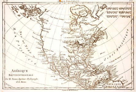
maps of the aleutian islands
1780 maps of north america
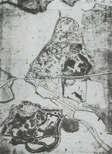
parklandschaft klein-glienicke
königstraße (berlin-wannsee)
maps made in the 17th century
gerard valck
olomouc fortress
1644
maps made in the 17th century
gerard valck
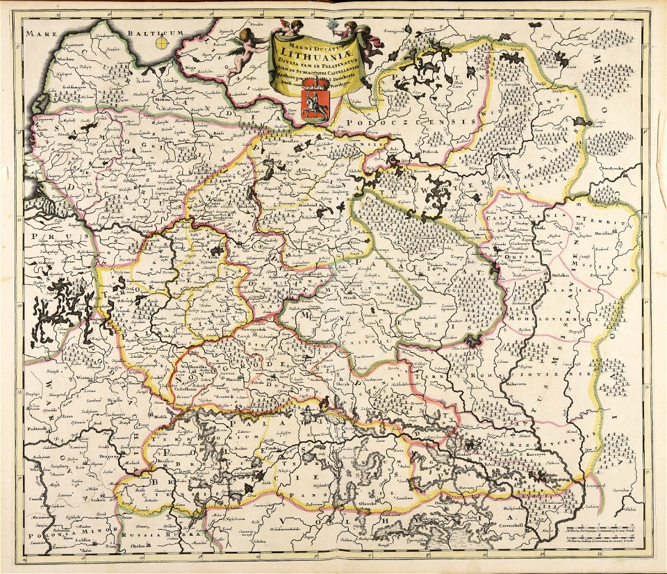
old maps of the grand duchy of lithuania
maps made in the 17th century
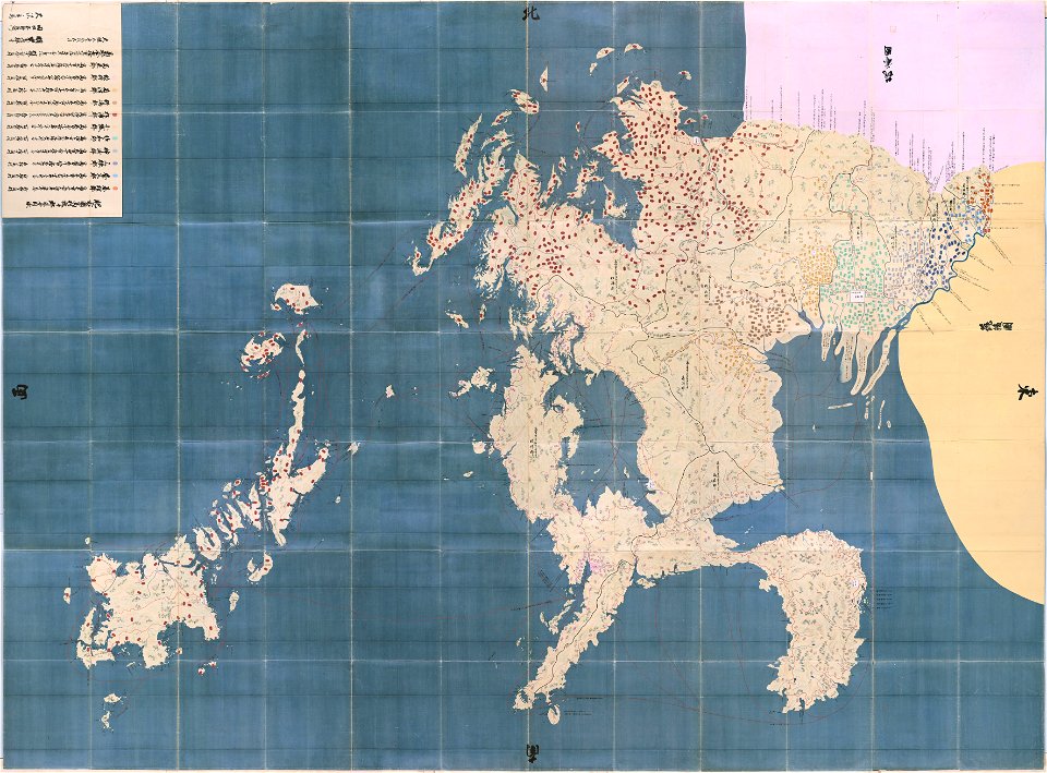
maps in the national archives of japan
hizen province
maps made in the 17th century
gerard valck
maps made in the 17th century
gerard valck
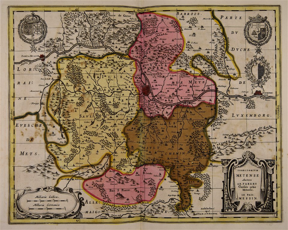
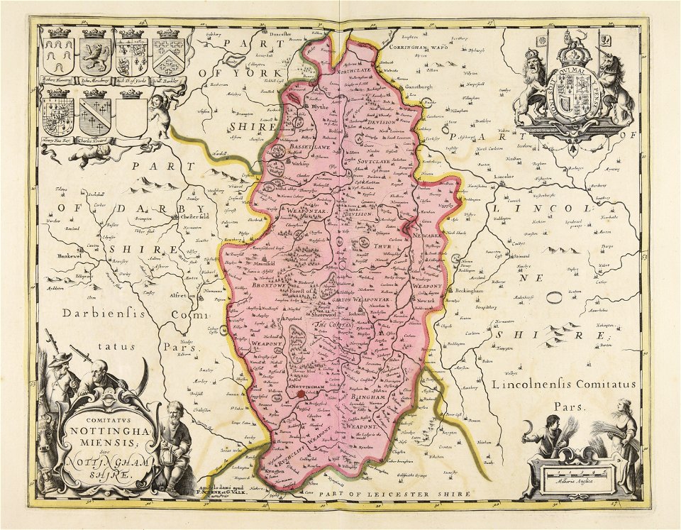
maps by pieter schenk (i)
gerard valck
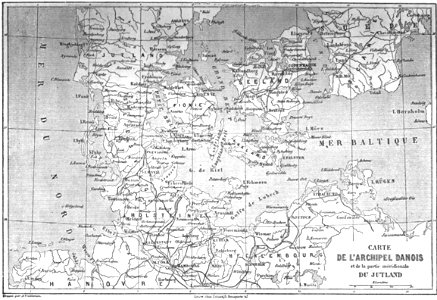
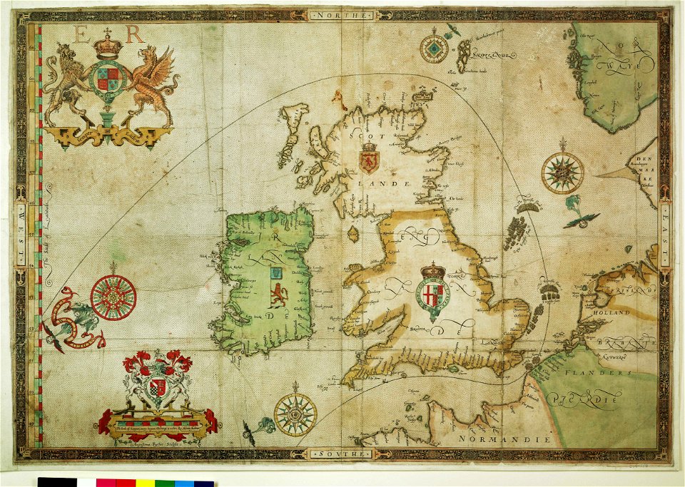
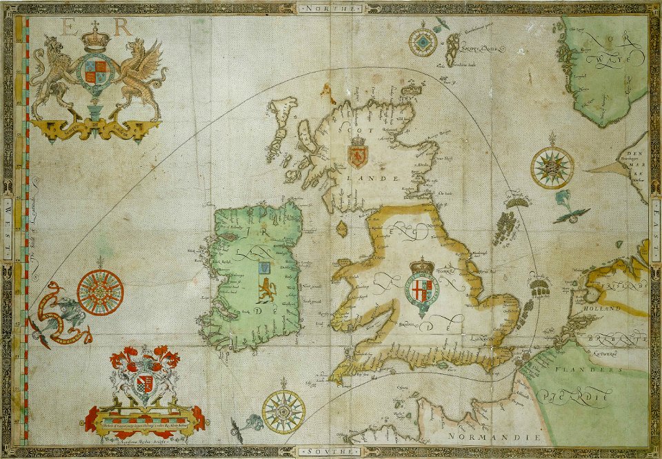
the track of the armada around britain and ireland
charts and maps of the royal museums greenwich
the track of the armada around britain and ireland
charts and maps of the royal museums greenwich
maps made in the 17th century
gerard valck
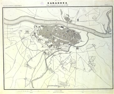
sitio de zaragoza (1808)
1868
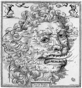
17th-century engravings
faces of men in art
5901 - 6000 of 40,209
Next page
/ 403